
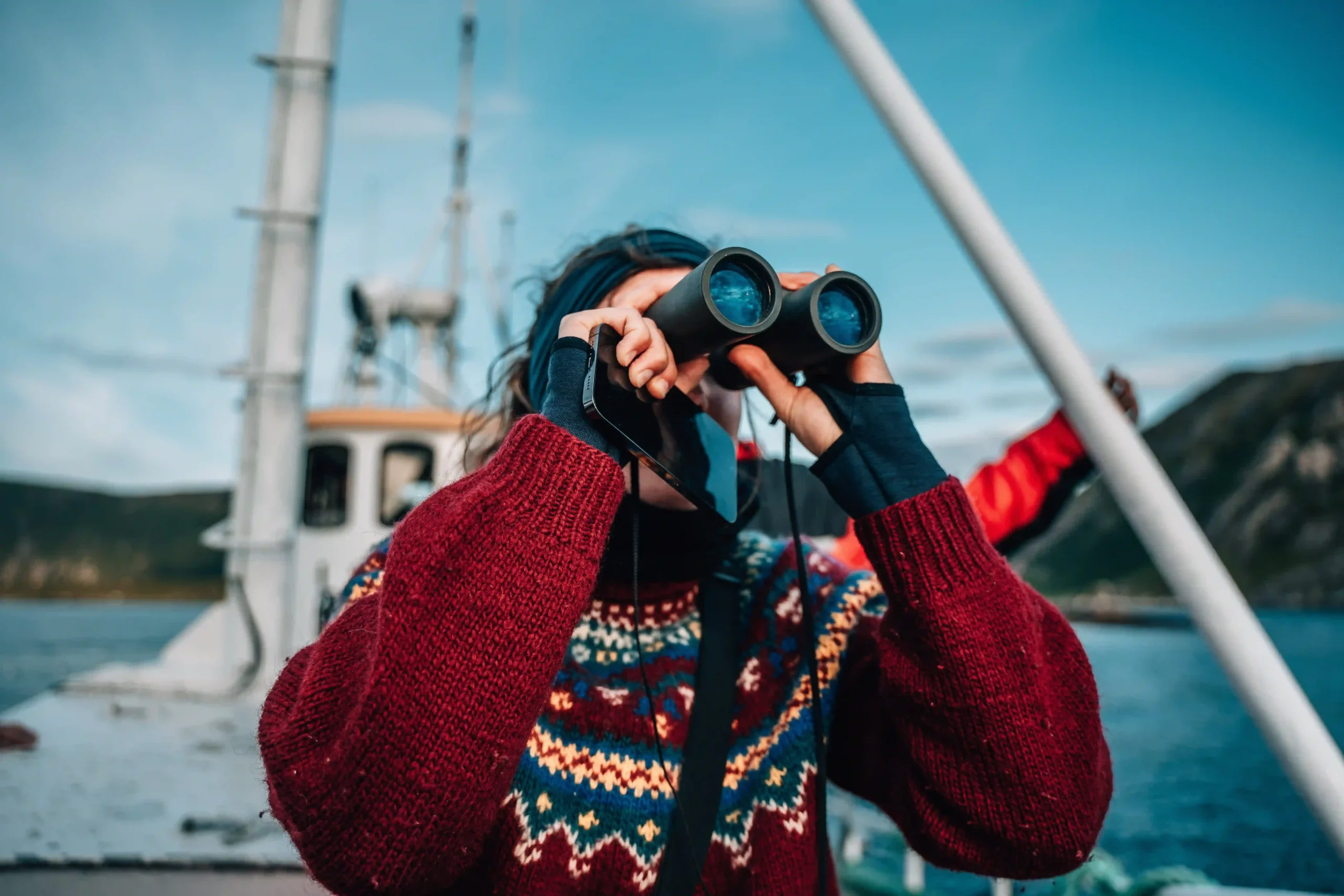
Norway fjords road trip itinerary: Through “Viking Country”
Norway’s landscape feels ancient—the land of the Vikings—shaped by ice, water, and time. Characterised by thousands of glacier-carved fjords, some reaching depths of over 4,250 feet (1,300 m) below sea level, the terrain is often called the “king of the vertical drop”. Here, mountains tower 3,300 feet (1,000 m) directly above the waterline, while snowmelt and rainfall spill endlessly from high plateaus, creating thousands of waterfalls that seem to hang in mid-air before crashing into the dark glass of the fjords below.
This Norway fjords road trip itinerary covers roughly 1,250 miles (2,000 km), beginning and ending in the capital, Oslo. The route serves as a journey through the heart of Norway’s most dramatic geography. From the urban energy of the east, you’ll head west to the blooming orchards of Hardangerfjord, wind north through the vast, labyrinthine Sognefjord region, and continue to the sheer emerald cliffs of Geirangerfjord—a UNESCO World Heritage site where cascading waterfalls define the horizon.
The loop reaches its northern peak in the historic city of Trondheim before turning back south. The return leg leads you through the untamed, high-altitude terrain of Jotunheimen National Park—“home of the giants”—where Norway’s highest peaks stand guard over the road before you descend back toward the coast.
To truly absorb the scale of this landscape, allow 12–14 days.
Highlights
-
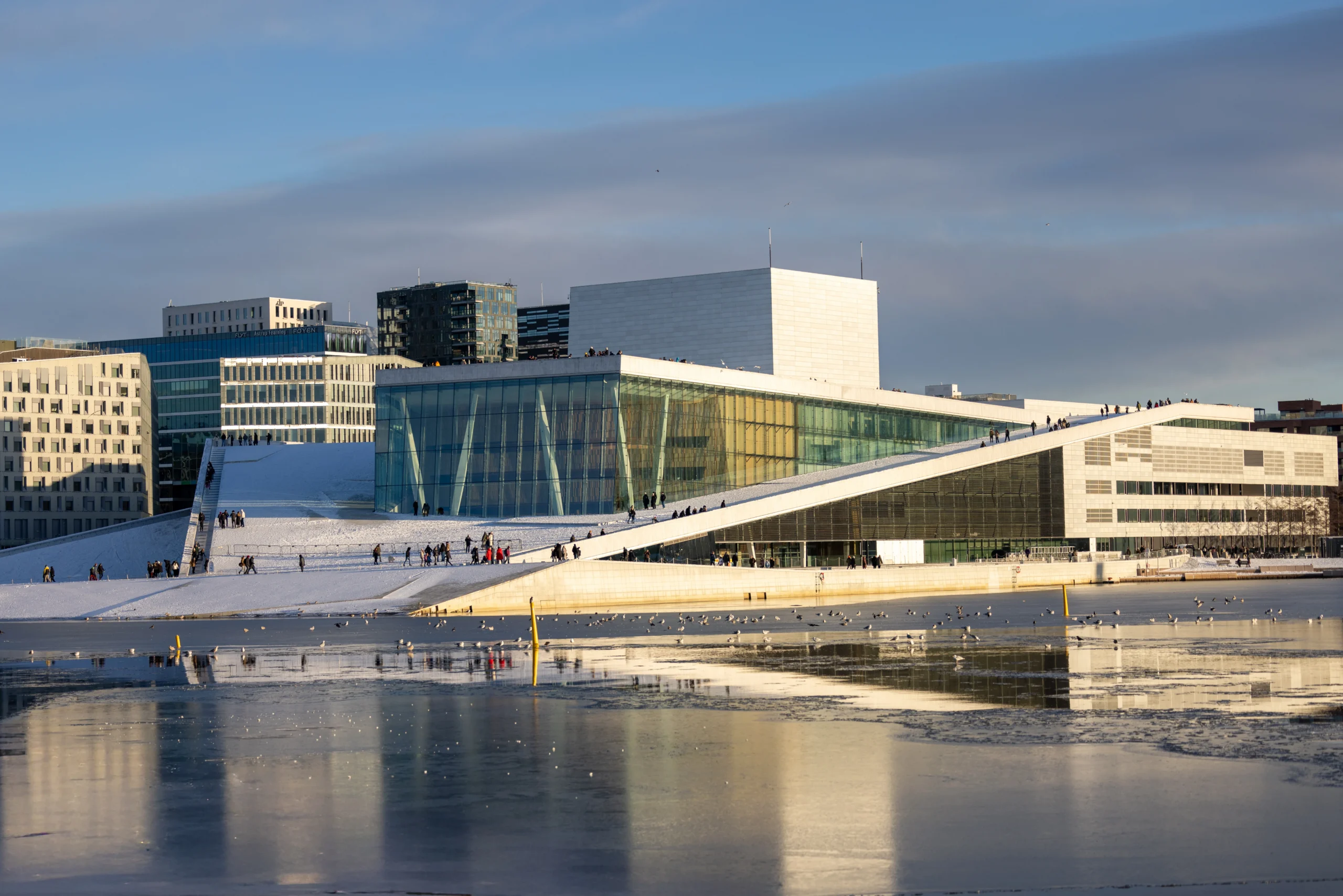
Oslo’s glacier-inspired Opera House
-
Hardangerfjord’s blooming apple orchards
-
Thundering Vøringsfossen waterfall
-
Bergen: Gateway to the fjords
-
The world-famous Flåm Railway
-
Seven Sisters waterfall
-
The hairpin turns of The Eagle Road
-
Jotunheimen: Home of the giants
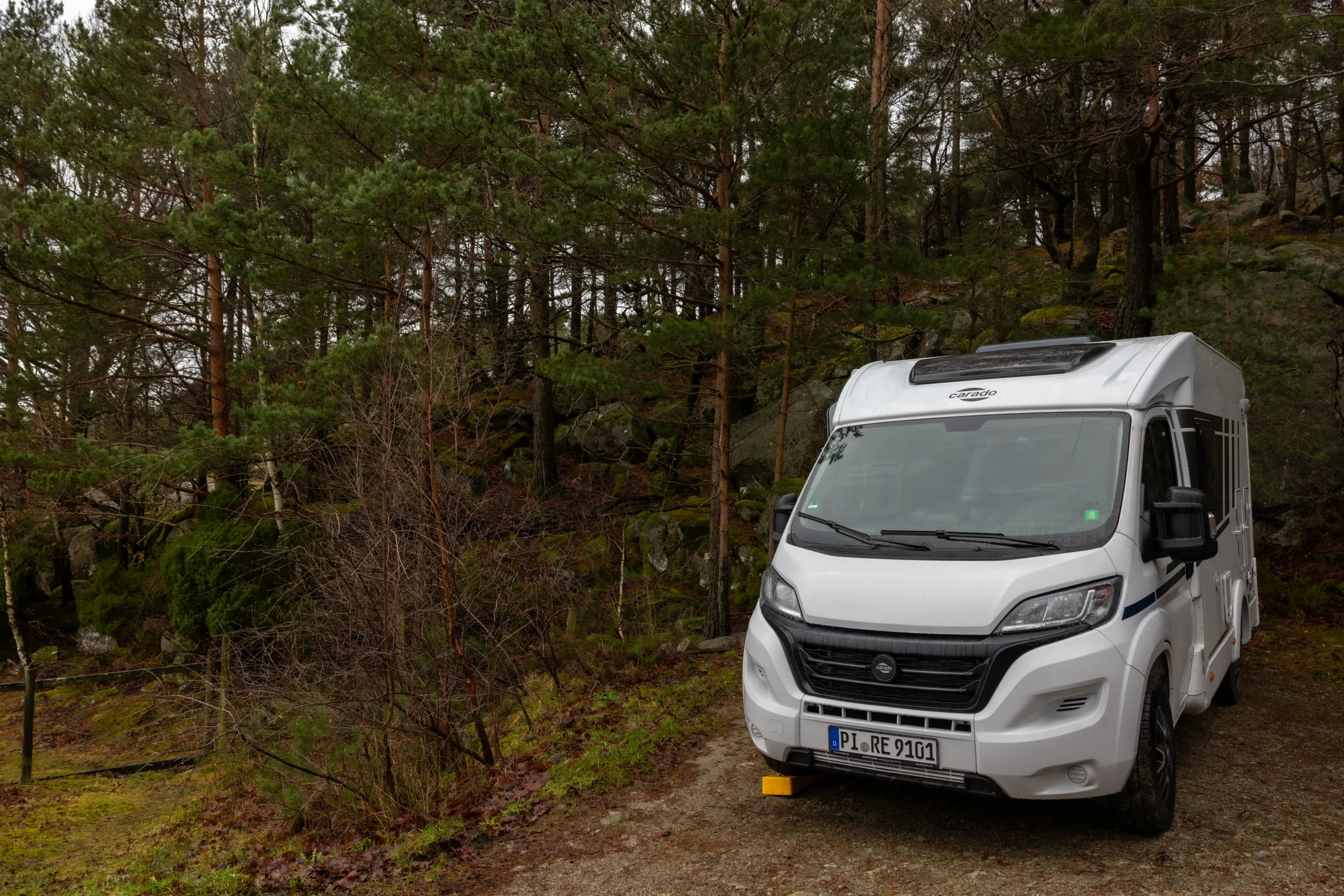
Why explore Norway by campervan?
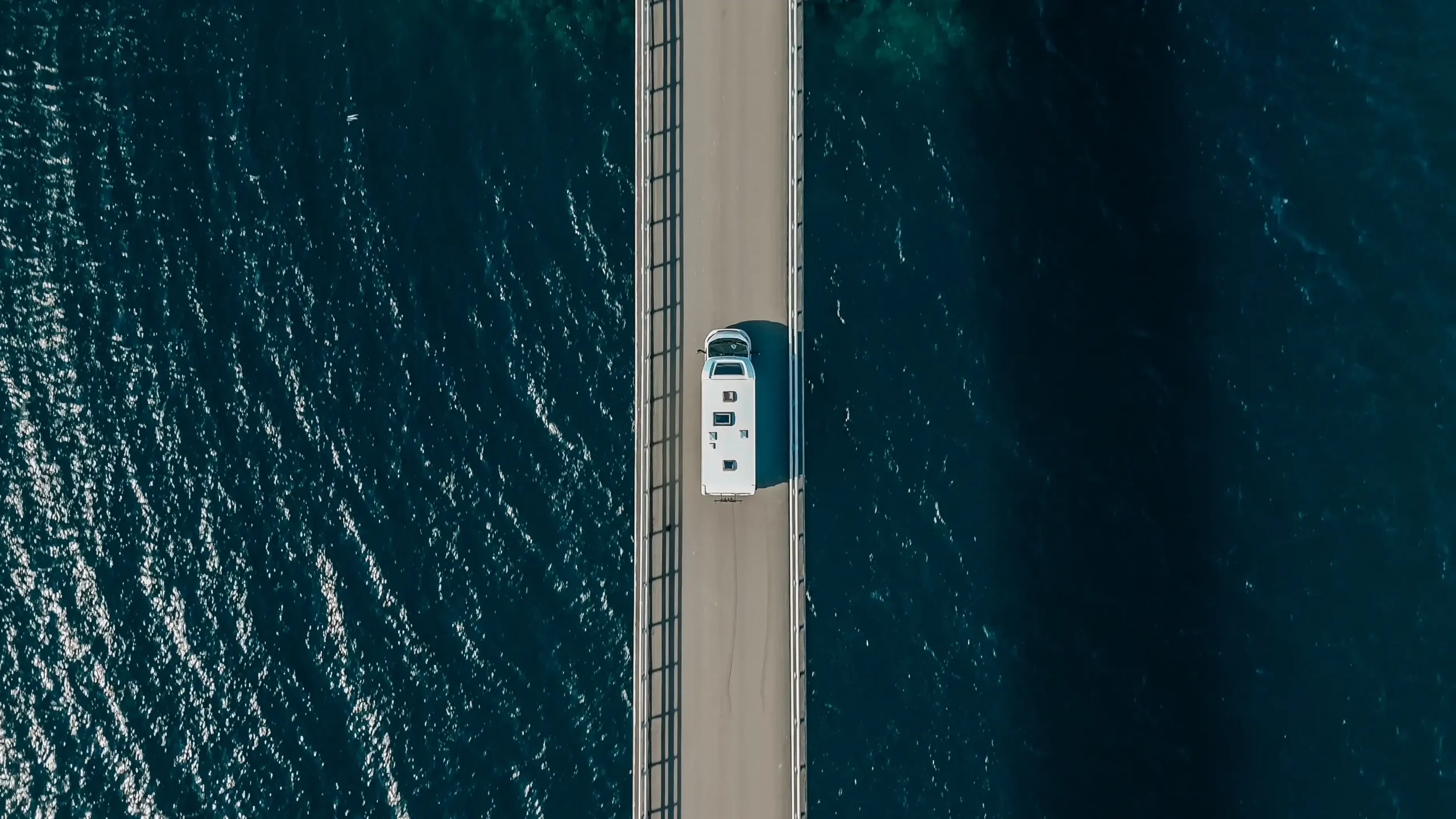
Traveling by campervan hire allows for spontaneous changes to your route. While Norway’s roads are well-maintained, be prepared: the routes carved into the mountains and clinging to the edges of the fjords can be narrow and winding, requiring a steady hand and a slow pace.
One of the greatest draws of a Norwegian road trip is the Allemannsretten. Wild camping is permitted for campervans and motorhomes, though there are restrictions:
- You can generally park on uncultivated land for up to two nights.
- You must remain at least 150m away from inhabited houses or cabins.
- Avoid cultivated fields, follow all local traffic laws, and respect signs.
- Use apps like Park4night and Bobilplassen to locate spots.
| Day | Route / Destination | Driving time | Highlights |
| 1–2 | Arrive in Oslo | Oslo Opera House roof, Akershus Fortress, floating saunas | |
| 3 | Oslo → Hardangerfjord | ~7.5 hours | Hardangervidda Mountain Plateau, Vøringsfossen Waterfall, cider tasting |
| 4–5 | Hardangerfjord → Bergen | ~1.5 hours | Bryggen Wharf, Mt Fløyen, Mt Ulriken |
| 6–7 | Bergen → Sognefjord | ~3.5 hours | Flåm Railway, Stegastein Lookout, Nærøyfjord cruise |
| 8–9 | Sognefjord → Olden | ~3.5 hours | Elvepurka River Rafting, Lovatnet Lake, Loen SkyLift |
| 10 | Olden → Geirangerfjord | ~3 hours | RIB boat sightseeing trip, Seven Sisters Waterfall, The Eagle Road |
| 11 | Geirangerfjord → Trondheim | ~6.5 hours | Nidaros Cathedral, Gamle Bybro, Bakklandet district |
| 12–13 | Trondheim → Jotunheimen | ~5 hours | Dovrefjell mountains, Jotunheimen National Park |
| 14 | Jotunheimen → Oslo | ~5 hours | Final descent to Oslo |
Best time to visit the Norwegian fjords
- Spring (May): Waterfalls reach their full, thundering flow, and the orchards along the Hardangerfjord burst into blossom.
- Summer (June–August): Warmest weather and fully accessible scenic roads.
- Autumn (September): Ideal for autumn colours, hiking in comfortable temperatures, and avoiding the peak summer crowds.
- Winter (December–March): Best for seeing the Northern Lights.
Regardless of when you go, the weather in “Viking Country” is famously unpredictable. Pack layers, carry a waterproof jacket, and embrace the Norse philosophy: There is no such thing as bad weather, only bad clothing.
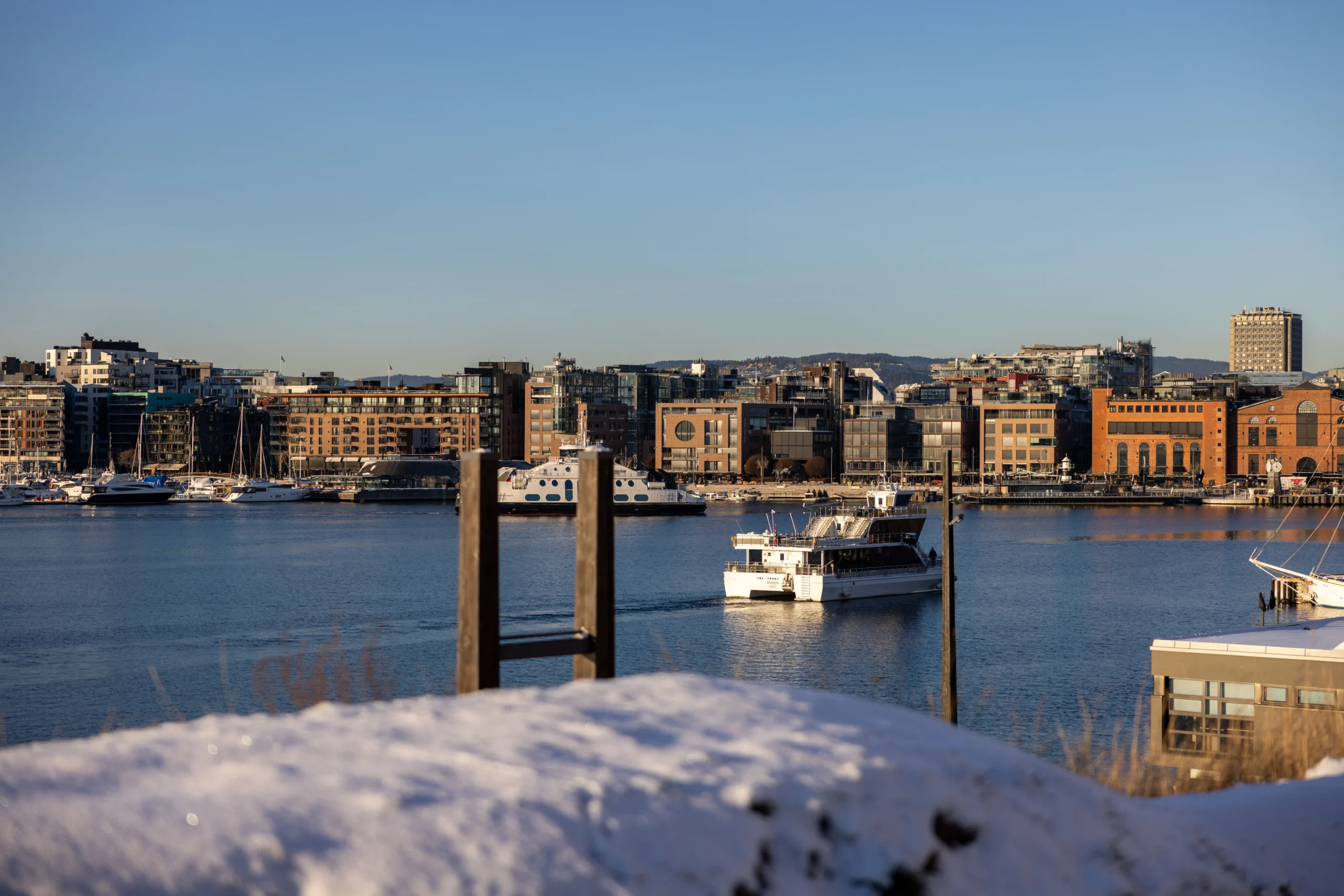
Starting your Norway fjords road trip itinerary in Oslo
Spend a day or two in Oslo after collecting your motorhome rental from the wide range available through CU | Camper. The city is best experienced on foot, starting with the Harbour Promenade. Here, the Oslo Opera House steals the show; designed to resemble a massive glacier rising from the water, its marble roof allows you to “climb” to the peak for a signature 360-degree view of the city skyline and the shimmering Oslofjord.
As you walk the waterfront, you’ll notice little floating sauna rooms dot the harbour. Here, you can bake in the heat before cooling off in the fjord.
From the water, head inland toward Karl Johans Gate, the city’s central artery that stretches from the train station up to the Royal Palace. For a deeper look into the past, visit the Akershus Fortress, a 13th-century mediaeval castle offering an impressive contrast to the city’s modern glass towers.
The Oslo Pass is highly recommended. It offers free admission to over 30 museums and sights and, perhaps more importantly, grants you unlimited use of the city’s trams, subways, and the public ferries.
Tip
Where to stay
Located on Oslo’s outskirts, Topcamp Bogstad offers a clean, partially renovated base for your first night or two. A 30–40 minute bus ride connects you directly to the city centre, allowing you to explore the capital with ease.
Oslo to Hardangerfjord
The drive from Oslo to the Hardanger region is a roughly 7.5-hour transition through some of Norway’s most varied landscapes. Following the Rv7, one of the country’s most iconic scenic routes, the journey takes you from the rolling forests and agricultural valleys of the east into the raw, high-altitude wilderness of the west.
At first, you’ll skirt the shimmering shores of Tyrifjorden and follow the winding path of the Hallingdalselva river, passing through quiet lakeside villages and emerald-green farmland. As you move further inland, the landscape begins to tighten and the trees grow shorter, signalling your climb toward the “roof of Norway”.
The true highlight of this stretch is the crossing of the Hardangervidda Mountain Plateau—Europe’s largest high-altitude plateau.
Hardangerfjord: Cider, orchards, and epic hikes
Hardangerfjord is the country’s second-longest fjord, extending 111 miles (179 km) inland from the Atlantic Ocean. Often called Norway’s “orchard”, the sheltered fjord valleys produce tonnes of strawberries, raspberries, plums, and cherries.
The region is especially known for its apples. Sampling a glass of local cider—often referred to as “Nordic champagne”—is an essential part of the experience. For those driving, the local eplemost (pure apple juice) offers a crisp, non-alcoholic alternative that captures the flavour of the valley just as perfectly.
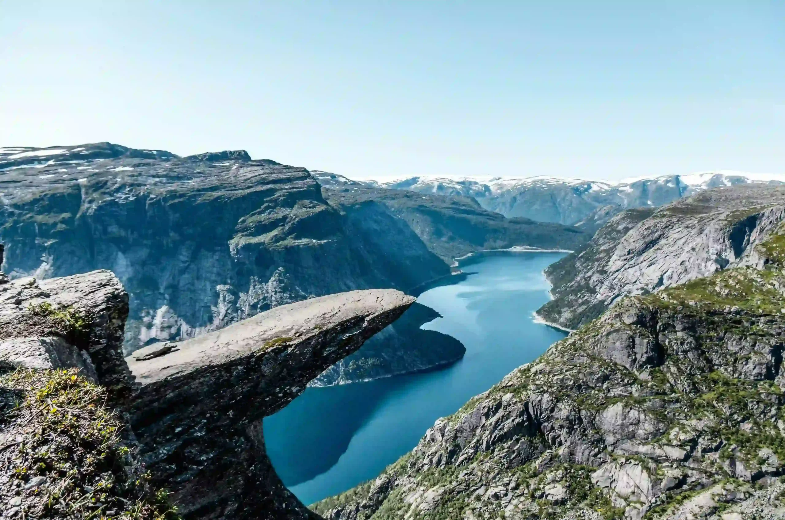
Yet, the region offers more than just a taste of the land; it is also a gateway to some of Norway’s most dramatic scenery. The landscape is home to iconic landmarks, including the towering rock formation of Trolltunga, the scenic Queen Sonja’s Panoramic Hiking Trail, and the thundering Vøringsfossen—widely regarded as one of the country’s most impressive waterfalls.
Beyond these highlights, the region boasts the vast, icy expanse of the Folgefonna Glacier and the serene, crystal-clear waters of Bondhusvatnet.
Recommended campsites
Lofthus Camping provides one of the most scenic spots for a campervan, situated directly among the apple trees with elevated views over the Hardangerfjord. Another excellent option is Kinsarvik Camping, which serves as a convenient base for exploring the Husedalen Valley and its four magnificent waterfalls.
Hardangerfjord to Bergen
The drive to Bergen takes roughly 1.5 hours. As you leave the fjord behind, the landscape begins to transition from deep, sheltered valleys to the more rugged, wind-swept terrain of the Atlantic coast. You’ll pass through a series of impressive tunnels and bridges.
Exploring Bergen
Bergen is a city defined by its relationship with the sea and the seven mountains that encircle it.
To truly understand the layout of this coastal city, you need to gain some altitude:
- Mount Fløyen: For the most iconic views of Bergen’s harbour, take a ride to the top on the Fløibanen funicular. If you have the time and energy, the summit is also the starting point for several short, well-marked hikes.
- Mount Ulriken: For a more rugged experience, head to Mount Ulriken, the highest of the seven mountains. Sitting roughly 820 feet (250 m) taller than Fløyen, it offers a more dramatic, alpine perspective of the city and the North Sea beyond. The top can be reached by a cable car that grants supreme views over the surrounding archipelago.
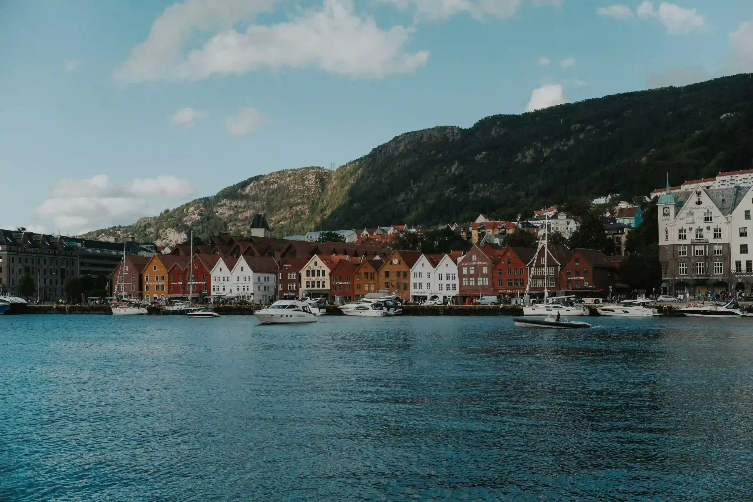
No trip to Bergen is complete without a walk through Bryggen. This is the old wharf with famous wooden buildings that are hundreds of years old. Just across the water, you should visit the Bergen Fish Market.
Where to stay
Bergen Camping Park is a convenient spot about 20 minutes north of the city. You can park here and take a bus into the centre, which is much easier than driving a large motorhome through narrow city streets. For a quieter stay, Lone Camping offers an alternative by a lake just 12 miles (19 km) from the city.
Bergen to Sognefjord
The drive from Bergen to the Sognefjord takes roughly 3.5 hours. As you leave the coast, the road climbs into the mountains, passing through deep rock tunnels and alongside rushing rivers. You will see the landscape change from the coastal islands of Bergen to the massive, steep-sided mountains that guard Norway’s longest and deepest fjord.
Sognefjord: The “king of the fjords”
Sognefjord stretches over 125 miles (200 km) inland. A place where the water is often as deep as the mountains are high. Some of the most beautiful parts of the fjord are its narrower branches, like Nærøyfjord—a UNESCO World Heritage site—and Aurlandsfjord, where the cliffs rise straight out of the water.
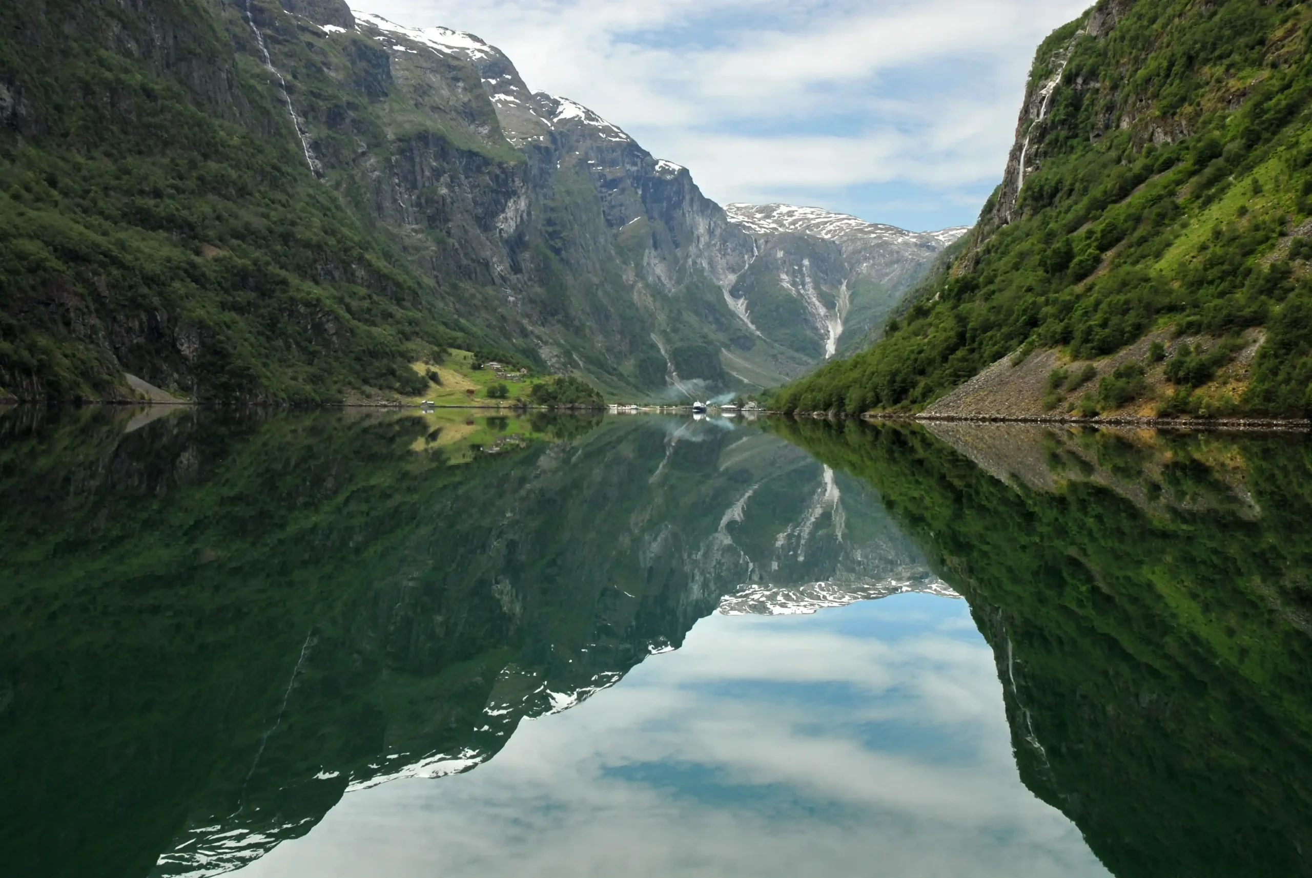
Take a ride on the Flåm Railway. It is one of the steepest railways on Earth, climbing from the fjord at Flåm up to the high-mountain station of Myrdal. Along the way, you will see thundering waterfalls and deep green valleys.
For a stunning view of the Aurlandsfjord, drive up the mountain road from Aurland to Stegastein Lookout, a wooden viewing platform that sticks out 2,000 feet (650 m) above the fjord.
Because the water here is so deep and calm, it is the perfect place for kayaking. Gliding silently past the giant cliffs is the best way to feel the true size of the fjord. If you prefer to stay on land, there is a huge network of mountain trails for all levels. Or join a guided tour to one of the nearby glacier tongues, which are arms of the massive Jostedalsbreen ice cap.
Where to stay
Located in the heart of the village, Flåm Camping is a popular choice for motorhomes and is just a short walk from the railway. For an alternative, Lunde Camping in Aurland sits right by the river and offers easy access to the Stegastein Lookout.
Sognefjord to Olden
The journey from Sognefjord to Olden takes about 3.5 hours. This stretch of the road trip is all about the power of nature, as you pass massive ice fields and rivers fed by melting snow.
Pascal Kretz
There are several exciting places to stop as you make your way north:
- Elvepurka River Rafting: Located in the Jostedal Valley, this is the perfect spot for an adrenaline rush. You can join a rafting trip down the glacial rivers, surrounded by high peaks and wild scenery.
- Lovatnet Lake: This is one of the most beautiful lakes in Norway. The water is a bright, emerald green because of the silt from the glaciers. A great place to rent a kayak and paddle through the calm, colourful water.
Olden: A quiet village
Olden is a small, charming village sitting at the very end of the Nordfjord. While the village itself is quiet and peaceful, it serves as a gateway to some of the most dramatic mountain scenery in the country.
Just a 10-minute drive from Olden is the village of Loen, where you can find the Loen Skylift. A cable car that takes you from the fjord to the top of Mount Hoven in just five minutes. From there, you have a 360-degree view over the fjords and mountains.
Where to stay
Set just outside the village on the shores of Oldevatnet, Oldevatn Camping is a beautifully located site with incredible views of the surrounding mountains and nearby glaciers. Another excellent lakeside option is Gryta Camping, which offers equally scenic surroundings.
Olden to Geirangerfjord
The drive from Olden to Geiranger takes just under 3 hours.
Geirangerfjord
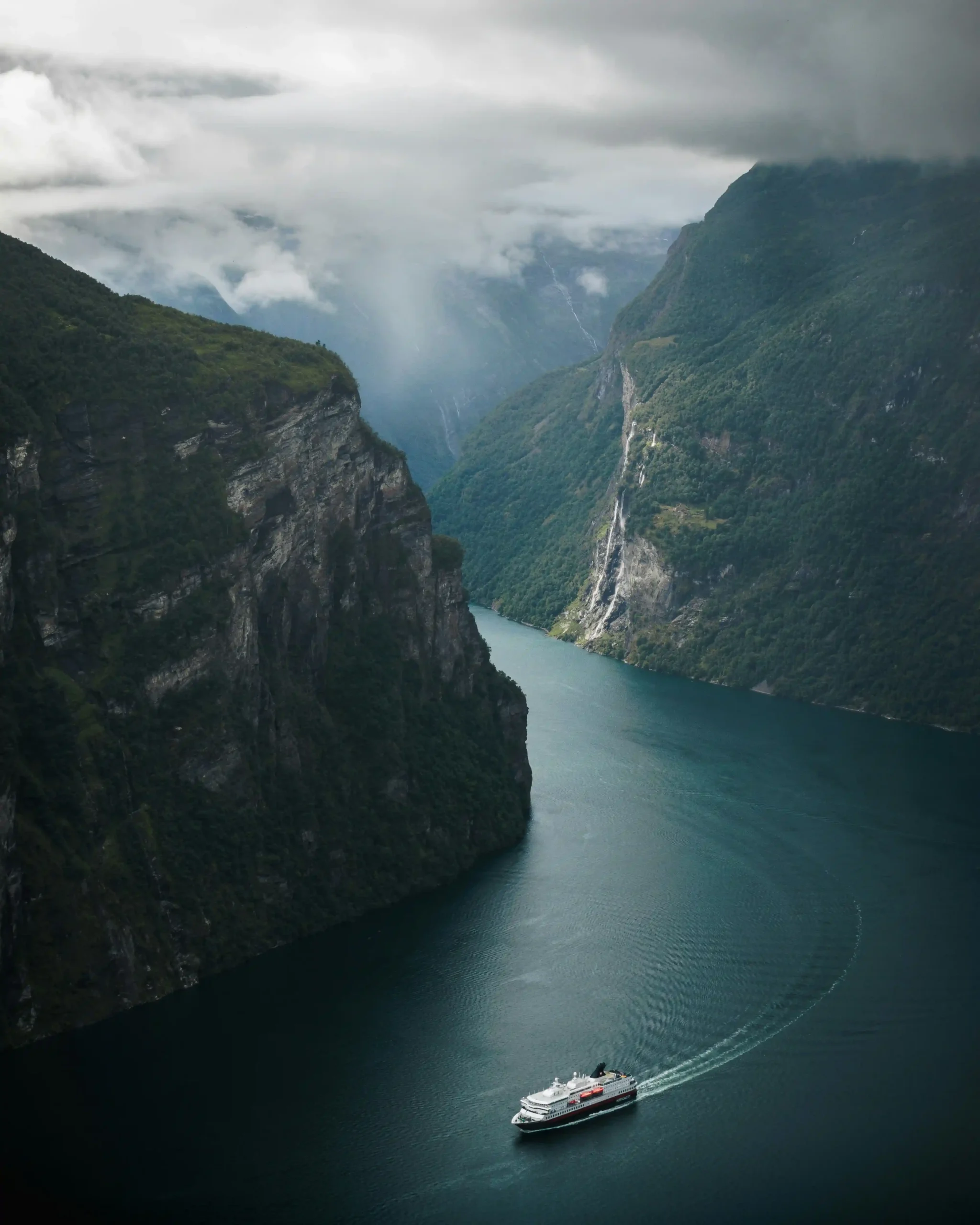
Geirangerfjord is a narrow, S-shaped branch of the larger Storfjord. Because it is so narrow, the scale of the landscape feels even more dramatic. The best way to see the fjord is from the water. You can join one of the popular RIB boat sightseeing trips, which zip across the fjord and take you right up to the base of the cliffs.
The Seven Sisters is the most famous waterfall in Geiranger. It consists of seven separate streams that plunge about 820 feet (250 m) into the fjord.
For a jaw-dropping lookout, drive the Eagle Road (Ørnevegen).
Recommended campsites
Located about 1.5 miles (2.5 km) from the village, Geirangerfjorden Feriesenter offers sites right at the water’s edge. You can wake up, open your campervan door, and see the fjord immediately.
Situated at the very end of the fjord, Geiranger Camping is right in the village centre, making it easy to walk to the shops, restaurants, and the ferry terminal.
Geirangerfjord to Trondheim
The drive from Geiranger to Trondheim takes roughly 6.5 hours.
Trondheim
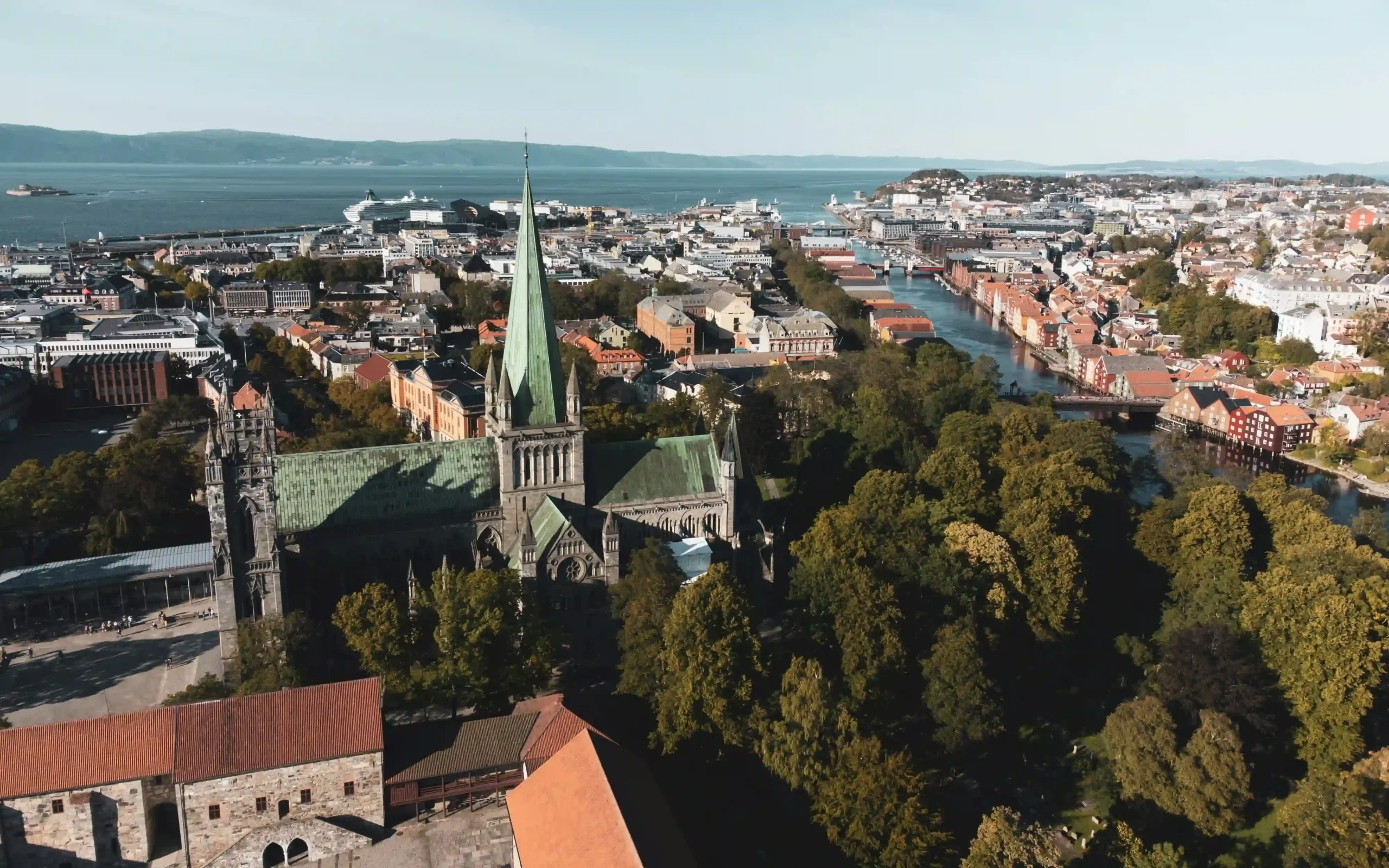
Known as Nidaros in ancient times, the city was founded by the Viking King Olav Tryggvason in the year 997. It served as Norway’s first capital and remains the country’s religious and historical centre.
While exploring, be sure to visit:
- Nidaros Cathedral—an atmospheric architectural marvel.
- Gamle Bybro—often called the “gate of happiness”.
- Bakklandet district—over the Nidelva river.
Where to stay
About 7 miles (11 km) west of the city, Flakk Camping sits right on the shore of the Trondheimsfjord.
Trondheim to Jotunheimen
The drive from Trondheim to Jotunheimen takes just under 5 hours. You will follow the E6 through the Dovrefjell mountains.
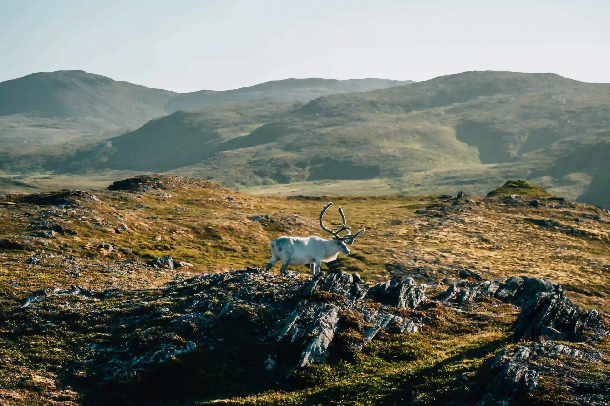
Jotunheimen: The home of the giants
This is where you’ll find Galdhøpiggen and Glittertind. Jotunheimen National Park is a playground for hiking, mountain biking, rafting, and climbing.
Where to stay
Amidst three national parks, Randsverk Camping has excellent facilities for campervans and is surrounded by forests and bike trails. It’s a great spot to relax before the final drive back to Oslo.
Jotunheimen to Oslo: The final descent
The final leg of your journey takes roughly 5 hours. It’s a gentle, scenic drive that gives you time to process the sheer scale of the world you have just moved through.
You have traced the paths of Vikings, stood on the edge of vertical cliffs where the clouds meet the sea, and woken up to the sound of glacial meltwater rushing past your campervan door.
You have felt the pulse of the ancient, wild North.
Rent your campervan today!
Frequently asked questions about motorhome rental in Norway
Most start their Norway fjords road trip itinerary in Oslo, Norway’s capital, where you can collect your campervan or motorhome that you’ve booked through CU | Camper.
Two weeks is the “sweet spot”. While Norway is a massive country, 14 days allows you to complete the southern loop from Oslo to Trondheim without spending hours behind the wheel every day.
• The setup: Most Norwegian rental companies automatically equip their campervans with an AutoPASS tag (a small white box on the windscreen). This is linked to the vehicle’s registration.
• The payment: You don’t need to do anything at toll booths. The cameras read the tag, and the rental company receives the bill.
• The catch: Most rental agencies will charge your credit card for the tolls after you return the van, often adding a small administrative fee (usually around 40–100 NOK) for the service.
For ferries, many are now part of the AutoPASS for ferry system, where your licence plate is scanned and you are billed automatically.
Under the Allemannsretten, you can park on uncultivated land for up to two nights, provided you are at least 150 m from inhabited houses. However, in popular fjord areas local “No camping” signs are common to prevent overcrowding. In these spots, always use an official campsite.
Norwegian roads are well-maintained but narrow. Routes like the Eagle Road or the Trollstigen feature sharp hairpin bends. If you are renting a large motorhome, ensure you are comfortable reversing, as you may occasionally need to pull into a “passing pocket” to let oncoming traffic through.
The ideal time to explore the Norwegian fjords is in the summer months (June–August), when temperatures are milder, daylight lasts much longer, and conditions are generally best for outdoor activities like hiking and boat trips. For those who prefer fewer tourists and lower costs, visiting in the shoulder seasons—May, September, or October—can be a great option while still offering a rewarding experience.